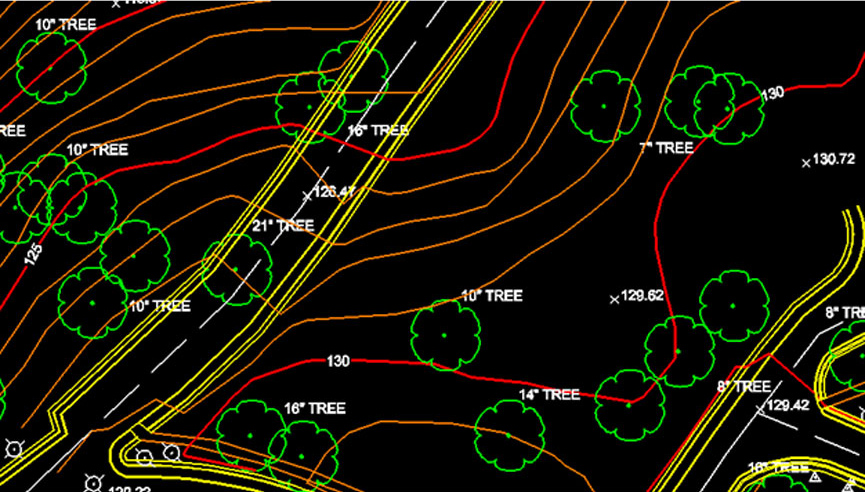
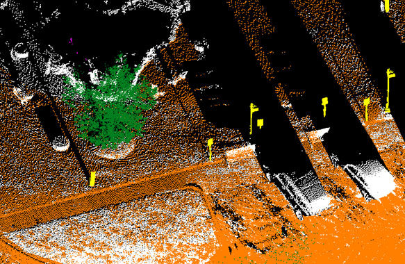
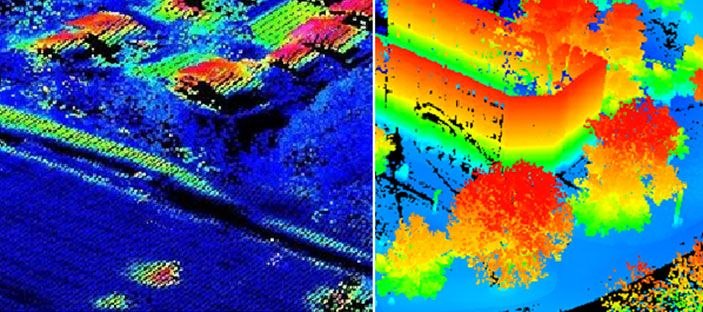
Terrestrial LiDAR
VGS has very good at producing the Topographic maps from Terrestrial LIDAR of very high density and by suing suitable software’s and also using different techniques like LiDARgrammetry. VGS delivered Utility maps from Terrestrial LiDAR point cloud. Scans of Terrestrial LiADR point cloud has been processed, classified and extracted topographic, geomorphic and utility features and Map symbology have been applied and final output was delivered to Client.