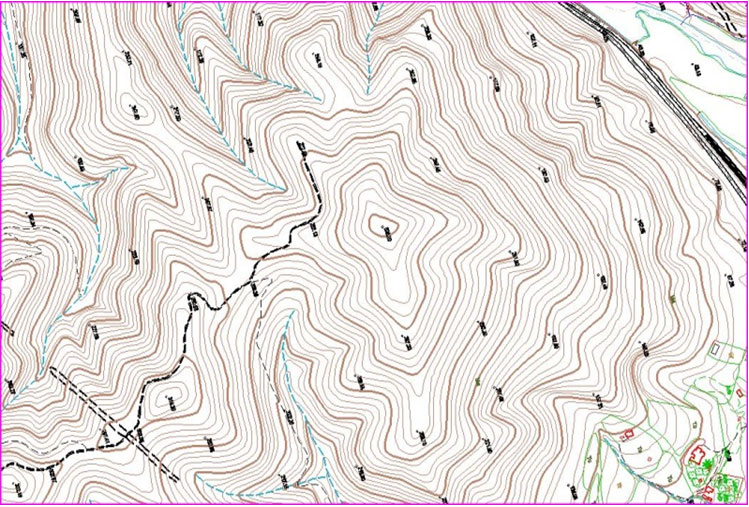
3D Cartography( Large scale & Small scale)
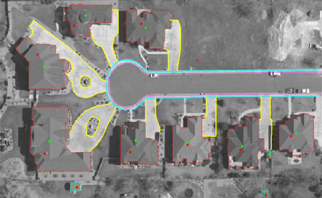
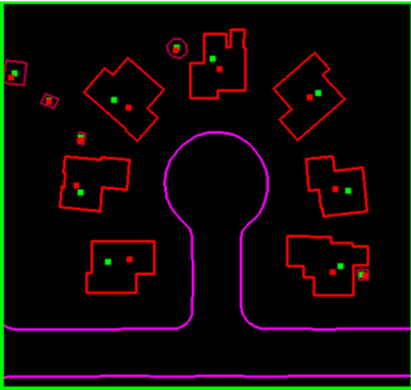
3D Cartography: (Aerial/Satellite mapping)
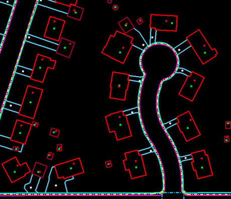
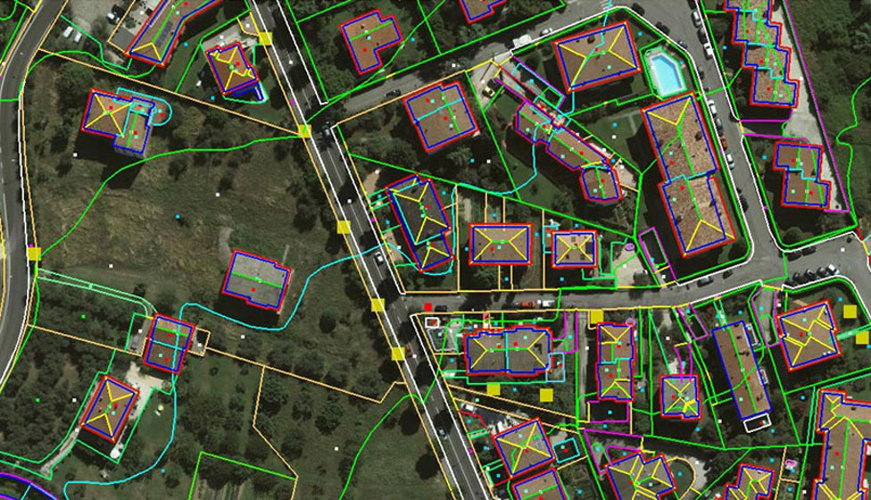
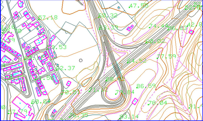
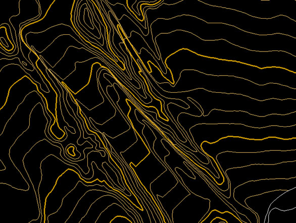
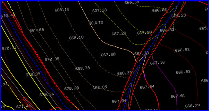
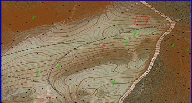
Cartographic rules and systematic in-house quality check procedures have been followed in order to meet the client requirements. We have successfully completed many 3D cartographic projects of different scales (1:500, 1:1000, 1:2000, 1:5000, 1:10000) from various sensors like Frame, Digital, ADS40 and satellite sensors. We use high end Stereo Workstations for 3D data compilation and our most experienced 3D technicians will never compromise for producing high quality data. Natural and cultural features will be captured very precisely by following the Cartographical rules and ASPRS standards.
Accurate vector data is created using modern, digital equipment at affordable prices. Mapping features such as terrain, structures, transportation networks, hydrology, and vegetation are collected as layers of digital data as per client required formats.